✨ New Arrivals Just Dropped!Explore

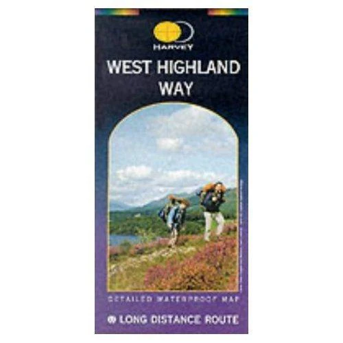
West Highland Way Map
The Way is 153km (95 miles) from Milngavie, near Glasgow to Fort William. The map is arranged in panels so that at any one time you only have to have the part you need open. The map is printed on latex impregnated paper making it waterproof and more robust. It is supplied folded in a plastic pocket.
The map shows the detail you need for navigation. There is a full key and scale bar.
Information on planning your trip, accommodation, useful telephone numbers and websites, travel, and tips are all included.
Product Information
Product Information
Shipping & Returns
Shipping & Returns
West Highland Way Map
West Highland Way Map
The Way is 153km (95 miles) from Milngavie, near Glasgow to Fort William. The map is arranged in panels so that at any one time you only have to have the part you need open. The map is printed on latex impregnated paper making it waterproof and more robust. It is supplied folded in a plastic pocket.
The map shows the detail you need for navigation. There is a full key and scale bar.
Information on planning your trip, accommodation, useful telephone numbers and websites, travel, and tips are all included.
$22.09
West Highland Way Map—
$22.09
Product Information
Product Information
Shipping & Returns
Shipping & Returns
Description
The Way is 153km (95 miles) from Milngavie, near Glasgow to Fort William. The map is arranged in panels so that at any one time you only have to have the part you need open. The map is printed on latex impregnated paper making it waterproof and more robust. It is supplied folded in a plastic pocket.
The map shows the detail you need for navigation. There is a full key and scale bar.
Information on planning your trip, accommodation, useful telephone numbers and websites, travel, and tips are all included.