Explorer Active OL7 The English Lakes Map - SE Area
OS Explorer is the Ordnance Survey's most detailed map and is recommended for anyone enjoying outdoor activities such as walking, horse riding and off-road cycling. The series provides complete GB coverage and can now be used in all weathers thanks to OS Explorer - Active, a tough, versatile version of OS Explorer. The OS Explorer Active range of OL maps now includes a digital version of the paper map, accessed through the OS smartphone app, OS Maps.
The OS Explorer map of The English Lakes, South-Eastern Area, including Windermere, Kendal, & Silverdale.
Displaying the South-Eastern part of the Lake District National Park, OL7 is a must-have when visiting the area.Soak up stunning views at Lake Windermere — the largest natural lake in England, mooch around Kendal — a beautiful Cumbrian market town, or explore Silverdale — your gateway to the Lake District.
Other highlights of this map include Ambleside and Grasmere.
Our OS Explorer maps are perfect for day-tripping, extensive hikes, and cycling.
- Windermere, Kendal & Silverdale
- 100% recyclable
- Weatherproof
- 1:25,000
Product Information
Product Information
Shipping & Returns
Shipping & Returns




Explorer Active OL7 The English Lakes Map - SE Area
Explorer Active OL7 The English Lakes Map - SE Area
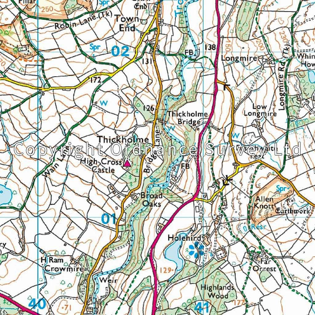
OS Explorer is the Ordnance Survey's most detailed map and is recommended for anyone enjoying outdoor activities such as walking, horse riding and off-road cycling. The series provides complete GB coverage and can now be used in all weathers thanks to OS Explorer - Active, a tough, versatile version of OS Explorer. The OS Explorer Active range of OL maps now includes a digital version of the paper map, accessed through the OS smartphone app, OS Maps.
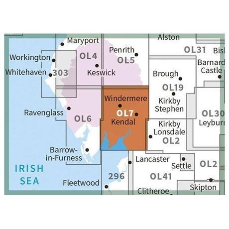
The OS Explorer map of The English Lakes, South-Eastern Area, including Windermere, Kendal, & Silverdale.
Displaying the South-Eastern part of the Lake District National Park, OL7 is a must-have when visiting the area.Soak up stunning views at Lake Windermere — the largest natural lake in England, mooch around Kendal — a beautiful Cumbrian market town, or explore Silverdale — your gateway to the Lake District.
Other highlights of this map include Ambleside and Grasmere.
Our OS Explorer maps are perfect for day-tripping, extensive hikes, and cycling.
- Windermere, Kendal & Silverdale
- 100% recyclable
- Weatherproof
- 1:25,000
Original: $22.74
-65%$22.74
$7.96Product Information
Product Information
Shipping & Returns
Shipping & Returns
Description
OS Explorer is the Ordnance Survey's most detailed map and is recommended for anyone enjoying outdoor activities such as walking, horse riding and off-road cycling. The series provides complete GB coverage and can now be used in all weathers thanks to OS Explorer - Active, a tough, versatile version of OS Explorer. The OS Explorer Active range of OL maps now includes a digital version of the paper map, accessed through the OS smartphone app, OS Maps.
The OS Explorer map of The English Lakes, South-Eastern Area, including Windermere, Kendal, & Silverdale.
Displaying the South-Eastern part of the Lake District National Park, OL7 is a must-have when visiting the area.Soak up stunning views at Lake Windermere — the largest natural lake in England, mooch around Kendal — a beautiful Cumbrian market town, or explore Silverdale — your gateway to the Lake District.
Other highlights of this map include Ambleside and Grasmere.
Our OS Explorer maps are perfect for day-tripping, extensive hikes, and cycling.
- Windermere, Kendal & Silverdale
- 100% recyclable
- Weatherproof
- 1:25,000